Camp Nine Road
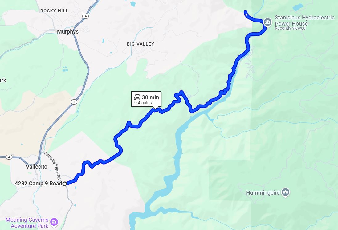
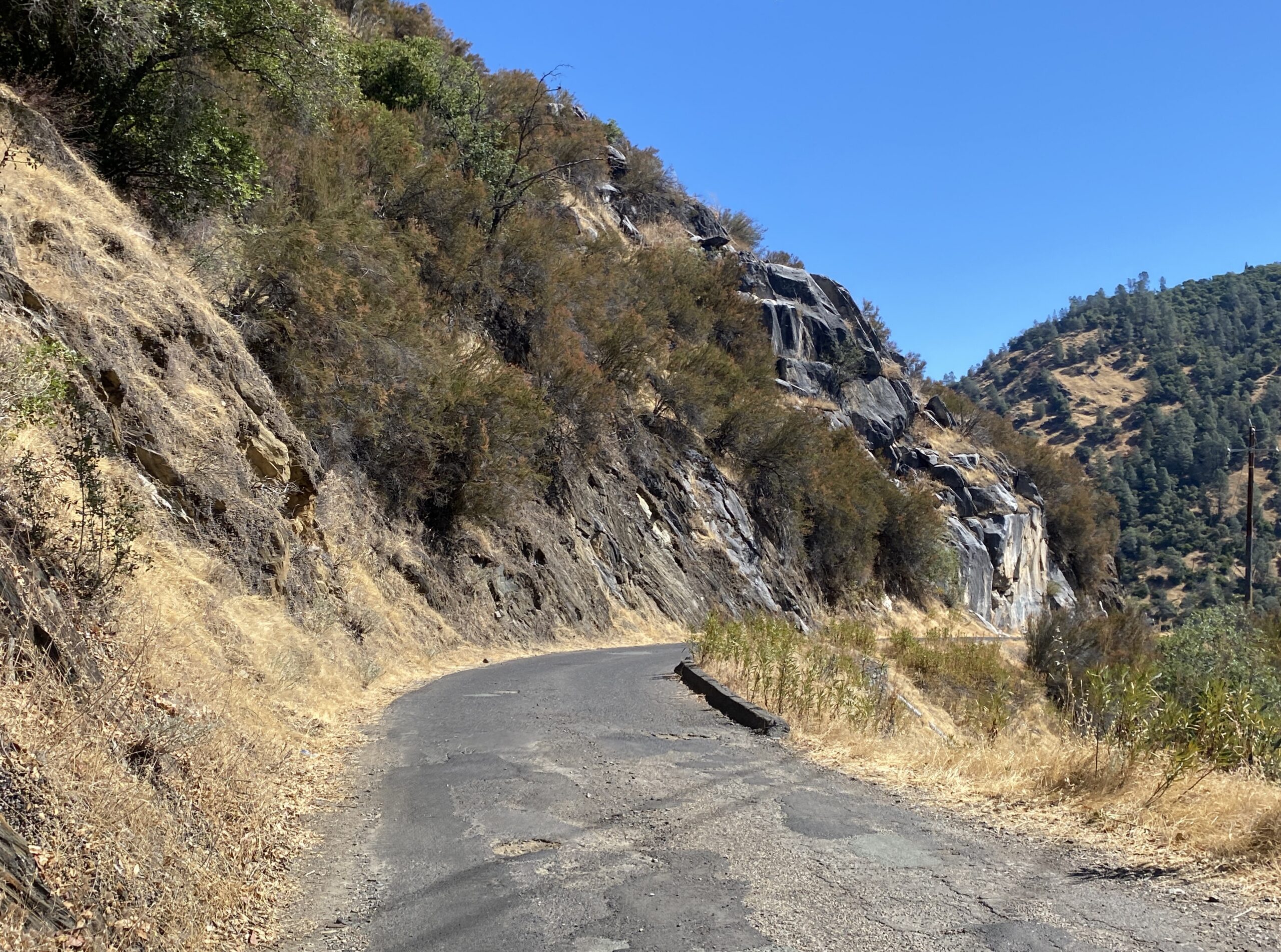
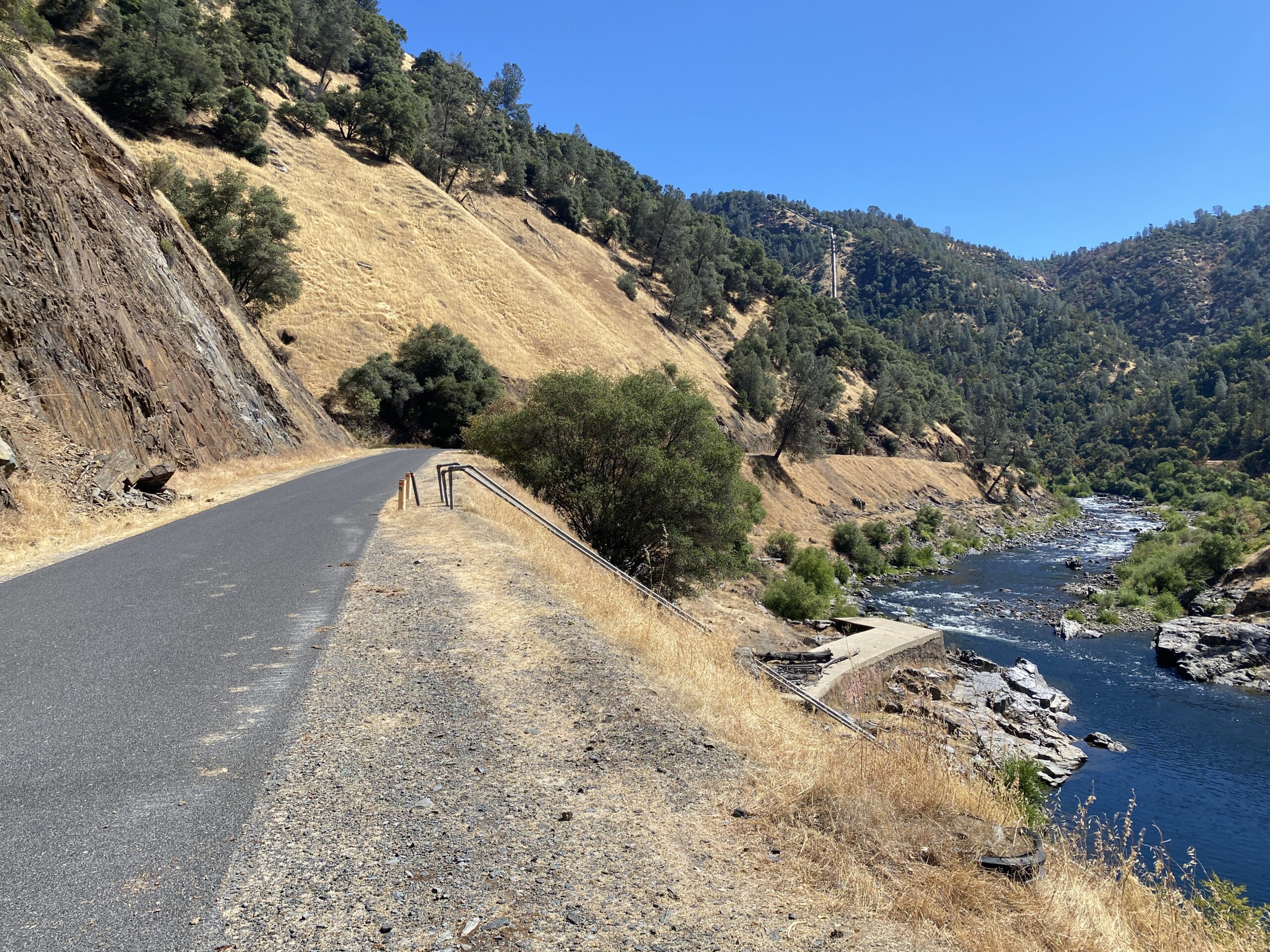
For those who guided or just were passengers on the Stanislaus River, the journey always started with a ride down the very narrow, winding Camp Nine Road (named because it was the ninth camp set up by the road construction company in the early 1907), about nine miles of rough asphalt that eventually turned sharp left to reveal the Stanislaus River canyon in all its glory. From there, just a few more minutes down to the Camp Nine put in.
For some, the ride down the road (and even those who had to drive vehicles back out!) was more adventurous than going down the river – especially when an incoming, loaded 40 passenger school bus had to pass an outgoing bus or truck, with one side of the narrow road steeply dropping several hundred feet to the river below, with no guardrails of any kind.
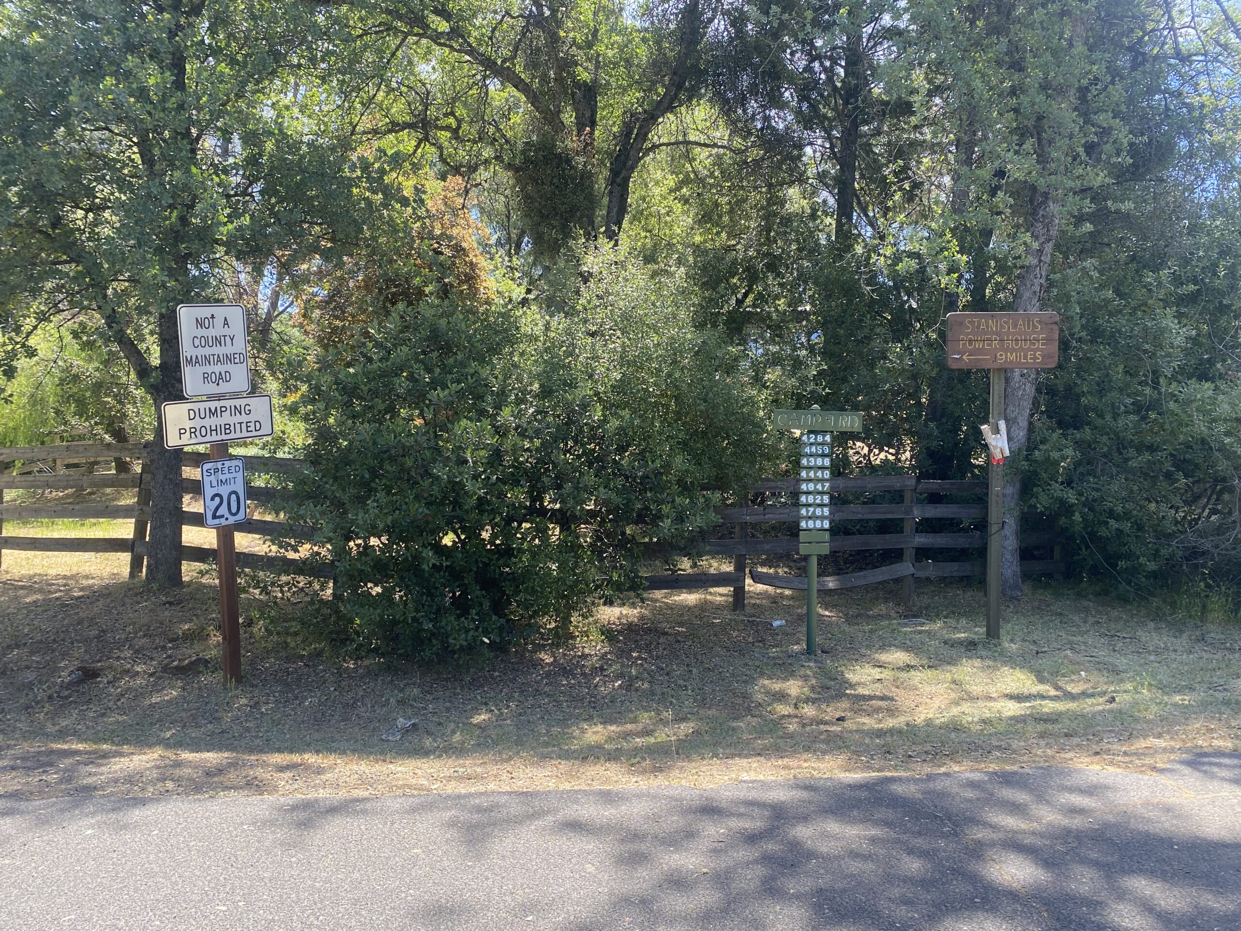
For a trip down the Camp Nine road memory lane, here are excerpts from a really great article about Camp Nine Road, posted on the blog, GribbleNation. The post includes both some history of the old Camp Nine powerhouse and many step by step photos along Camp Nine Road, from the entrance off Parrott’s Ferry Road (just across from the old ARTA house, half a mile from Vallecito), most of which look pretty much like the road in the 1970s. At the end of the post are a number of photos of Camp Nine put in after the river was devasted by New Melones Reservoir.
“Camp 9 Road is an approximately 9.4-mile roadway owned and maintained by the Pacific Gas & Electricity Company in the Sierra Nevada foothills of Calaveras County. This single lane highway begins at Parrots Ferry Road near Vallecito and terminates at Clarks Flat near the former company town site of Camp 9. Camp 9 Road was completed in 1907 by Stanislaus Electric Power Company to facilitate access to the original Stanislaus Powerhouse.”
The post continues with the story of the powerhouse and the companies that built it. See the whole post about Camp Nine road.