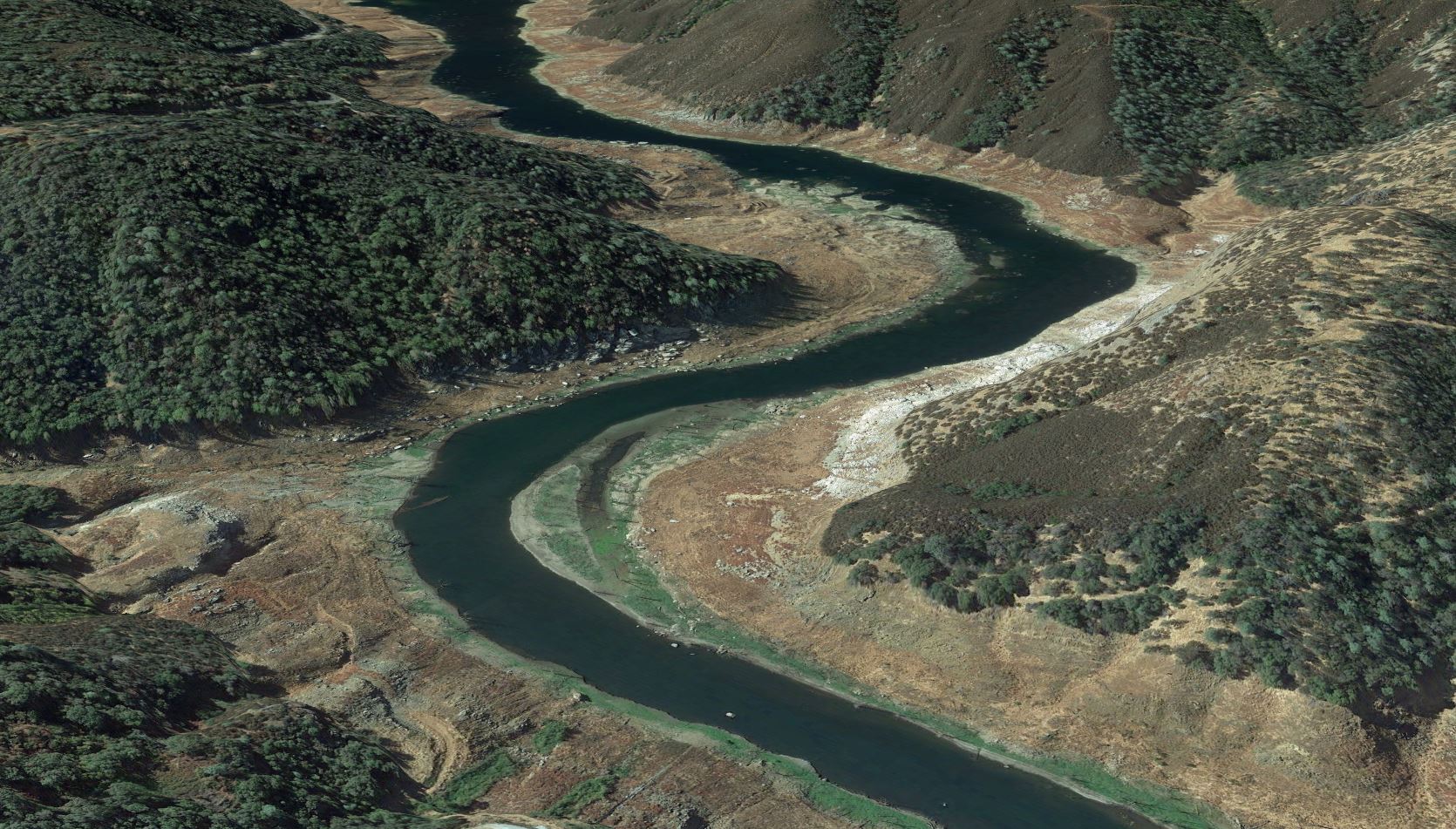


Google Earth image of location of Sierra Club Rapid after flooding
This is Google Earth images shows the general area of Sierra Club Rapid, but with the reservoir flooding the area. The rapid was formed by Wolf Gulch, which came in from river left (you can just see the edge of the gulch at the far lower left in this photo). The rapid was entered on a curve and choices had to be made to go left, right or center through bushes, then navigate the tricky rocks at the very bottom of the rapid. Immediately after came a pool with Boatman’s Rock (not visible here) and then Wino Swim (also submerged, in the short straight-away in the center of this image).
Date uploaded: Jan 23, 2021
Date last modified: Mar 14, 2023